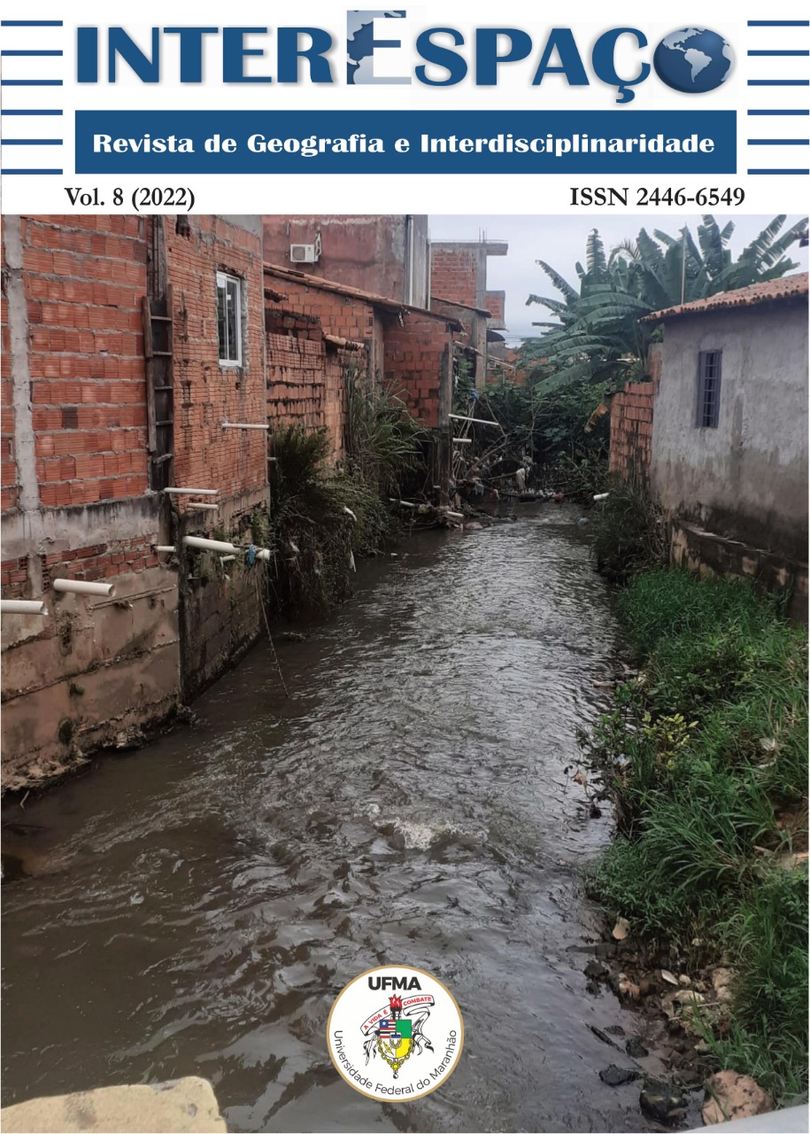
LAND USE CHANGES IN THE WATERSHED OF THE CÓRREGO ÁGUA DA ONÇA AND INTENSIFICATION OF EROSIONS AND SILTING
DOI:
https://doi.org/10.18764/2446-6549.e202217Keywords:
GIS, Remote Sensing, Water ResourcesAbstract
The expansion of urban areas without adequate planning and without considering the characteristics of soils, relief, and storm water has caused severe problems in terms of the emergence of erosive processes, silting up of springs and water bodies, and flooding. The present work presents the analysis of the evolution of land use in the Watershed of the Stream Água da Onça (MCAO) located in Avaré - SP, to evaluate whether in fact the transformations implemented on the soil surface are the causes of the set of processes observed in the area. Geoprocessing techniques, aerial photography, and satellite images were used in the study. The results show that the watershed presented important changes in its uses and a considerable increase in urban occupation, in the processes of surface runoff, erosion, and siltation of the stream bed.
Downloads
Downloads
Published
How to Cite
Issue
Section
License

This work is licensed under a Creative Commons Attribution-NonCommercial-NoDerivatives 4.0 International License.
Direitos autorais InterEspaço: Revista de Geografia e Interdisciplinaridade
Este obra está licenciado com uma Licença Creative Commons Atribuição-NãoComercial-SemDerivações 4.0 Internacional.
Os conteúdos publicados são de inteira e exclusiva responsabilidade de seus autores, ainda que reservado aos editores o direito de proceder a ajustes textuais e de adequação às normas da publicação.


